
The short answer
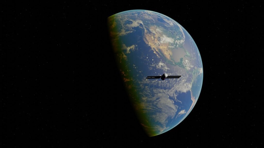
How does GPS work? Your phone listens to radio signals from satellites overhead, measures how long each signal took to arrive, and turns those times into distances. With distances from at least four satellites, it can work out its latitude, longitude, altitude and the time — a method called trilateration. The satellites are about 20,200 kilometres (12,550 miles) above the Earth, each one carrying atomic clocks and broadcasting its position and the exact time it sent its signal. GPS.gov, the system’s official site, says a GPS-enabled smartphone is typically accurate to within a 4.9-metre (16-foot) radius under open sky. That blue dot on your map is the result of clocks in space, timed to billionths of a second, and a piece of geometry your phone solves in a fraction of a second.
GPS stands for Global Positioning System. It is owned by the United States government and operated by the US Space Force, and it is provided free to users around the world. It began as a military system and is now the invisible backbone of navigation, transport, farming, banking and emergency services. This guide explains the satellites, the signals and the timing behind your location, why GPS drifts indoors or between tall buildings, and what the alternatives are today.
How does GPS work? The three parts of the system
GPS is not just satellites. It has three segments that work together, and understanding them explains why the system is so reliable — and where it can go wrong.
The space segment is the constellation of satellites in medium Earth orbit. The system is designed around a baseline of 24 operational satellites, arranged in six orbital planes with four slots in each, so that at least four satellites are visible from virtually any point on Earth at any time. The United States commits to keeping at least 24 operational satellites available 95 percent of the time. In practice the fleet is larger: GPS.gov counted 31 operational satellites as of 3 July 2023, and the US Coast Guard Navigation Center listed 32 operational satellites as of September 2026, with two flagged as unusable. The extra satellites are spares and backups that improve coverage and accuracy.
The satellites: clocks with radios attached
Each GPS satellite is, in the words of one plain description, a very precise clock with a radio attached. The satellites fly at about 20,200 kilometres up and circle the Earth twice a day, with an orbital period of about 11 hours and 58 minutes. They carry multiple atomic clocks — rubidium and cesium clocks — which keep time to within billionths of a second. That precision is not a luxury. It is the whole system.
The fleet has been built up in generations, called blocks. The current fleet spans Block IIR satellites, first launched from 1997, through Block IIR-M and Block IIF, to the newest GPS III satellites, first launched in 2018 with a 15-year design life. As of September 2026 the operational fleet was made up of 11 Block IIF, 10 Block III, 7 Block IIR-M and 4 Block IIR satellites. GPS III satellites offer better accuracy, stronger resistance to jamming, and a new civilian signal called L1C that is designed to work alongside other countries’ navigation systems.
Trilateration: how four satellites become one position
Here is the core of it. Radio waves travel at the speed of light — 299,792,458 metres per second, as GPS.gov states. When a satellite sends a signal, your phone notes when it arrives, and the time difference, multiplied by the speed of light, gives the distance to that satellite.
One distance puts you somewhere on the surface of a giant sphere centred on the satellite. A second distance narrows that to a circle where two spheres intersect. A third narrows it to two points — and one of those points is far out in space, so it can be ignored. That leaves your position. The method is called trilateration: finding a position from measured distances to known points. It is often confused with triangulation, which uses angles; trilateration uses distances, and the distinction matters.
There is a catch. Your phone’s clock is a cheap quartz clock, nowhere near as accurate as the atomic clocks in the satellites. A clock error of one microsecond — one millionth of a second — translates into a position error of about 300 metres, because light travels 300 metres in a microsecond. So the receiver treats its own clock error as a fourth unknown, alongside latitude, longitude and altitude. Four unknowns need four measurements, which is why the constellation is laid out so that at least four satellites are visible from virtually anywhere. When more than four are in view — typically 8 to 12 under open sky — the receiver uses them all, and the extra measurements improve the answer.
The signals: L1, L2 and L5
GPS broadcasts on several frequencies in the L band, around 1.2 to 1.6 gigahertz. The original civil signal is the coarse acquisition code on L1, at 1575.42 MHz. A second civil signal, L2C, broadcasts on L2 at 1227.60 MHz, and a third, L5, at 1176.45 MHz. The newest GPS III satellites also carry a fourth civil signal, L1C, designed to be compatible with other navigation systems.
How accurate is GPS, really?
GPS.gov says a GPS-enabled smartphone is typically accurate to within a 4.9-metre (16-foot) radius under open sky. That is the figure to keep in mind: your blue dot is usually within a few metres of where you actually are, good enough to find a street, a shop or a turning, but not good enough to tell which side of a pavement you are standing on.
The government makes a separate, formal promise about the signal itself rather than your phone: a daily global average user range error of 2.0 metres or less, 95 percent of the time. The measured figure has been better than that — 0.643 metres or less, 95 percent of the time, as measured on 20 April 2021. The difference between the signal and your phone comes from everything between the satellite and your hand: your receiver, your surroundings, and the weather in the upper atmosphere.
Why GPS drifts indoors and in cities
If GPS is so precise, why does your blue dot sometimes jump across the street, or vanish entirely indoors? GPS.gov lists the causes, and they are all about the signal’s journey.
Buildings block the signal. GPS signals are radio waves, and they are weak by the time they have travelled 20,200 kilometres. Walls, roofs and bridges can block them outright. Indoors or underground, your phone may see too few satellites for a fix, or none at all. That is why your phone switches to Wi-Fi positioning and mobile-network positioning indoors: it estimates your location from nearby Wi-Fi networks and cell towers instead.
Tall buildings reflect the signal. In a city, a signal can bounce off a glass tower and arrive at your phone a fraction of a second late, having taken a longer path. Your phone, which assumes the signal travelled straight, calculates a distance that is too long — and your dot lands on the wrong street. This is called multipath, and it is the main reason GPS is unreliable in urban canyons, between tall buildings.
The ionosphere and troposphere. The layers of the atmosphere slow the signal slightly, and the amount varies with solar activity and weather. Dual-frequency receivers can correct for the ionosphere; single-frequency receivers rely on a model of it, which is only approximate.
Your phone deals with all of this by combining sources. Modern phones use assisted GPS, or A-GPS: they download satellite data over the mobile network or Wi-Fi so they can find satellites faster, and they blend GPS with Wi-Fi, Bluetooth and the phone’s own motion sensors. When GPS is weak, the other sources fill in. The result is usually good enough for navigation, even if it is not a pure satellite fix.
GPS is not the only system: GNSS
GPS was the first global satellite navigation system, and the first provided as a free global service, reaching full operational capability in 1995. But it is no longer the only one. GPS belongs to a family called GNSS — Global Navigation Satellite Systems — and there are four global systems today: the United States’ GPS, Russia’s GLONASS, China’s BeiDou and the European Union’s Galileo. There are also two regional systems, Japan’s QZSS and India’s NavIC, which cover their home regions.
Common questions
Does GPS cost anything to use?
No. The service is provided globally without user fees, funded by US taxpayers. Your phone’s data plan is a separate cost, and map apps may use data to download maps, but the GPS signal itself is free.
Will GPS ever be replaced?
Not in the foreseeable future. GPS is being modernised — new satellites, new signals, better accuracy — and it now works alongside Galileo, GLONASS and BeiDou rather than alone. Low-orbit navigation systems are being tested, but they would complement GPS rather than replace it.
The bottom line
How does GPS work? Satellites 20,200 kilometres overhead broadcast their position and the time, timed by atomic clocks. Your phone measures how long those signals took to arrive, turns the times into distances, and solves for its position using trilateration — at least four satellites for latitude, longitude, altitude and clock correction. Under open sky that puts you within about 4.9 metres of your true position, which is why it works so well for driving, walking and finding a café. Between tall buildings or indoors, reflected and blocked signals make it drift, and your phone fills the gaps with Wi-Fi and sensors. And GPS is no longer alone: your phone most likely listens to Galileo, GLONASS and BeiDou as well, because more satellites mean a better fix. The blue dot looks simple. The system behind it is one of the most precise machines ever built — and it runs on clocks, light-speed radio waves and geometry. Our guide to what Wi-Fi 7 is and how it works explains the wireless network that takes over when you step indoors, and our guide to what Bluetooth is and how it works covers the short-range radio your phone uses for headphones, watches and car connections.
Sources verified 15 Nov 2026: GPS.gov figures as reported by The Airwaves — How GPS Works for the 20,200 km altitude, the 4.9-metre smartphone accuracy figure, the 24-satellite commitment, the 31 operational satellites counted 3 July 2023, and the 32 satellites listed by the Coast Guard Navigation Center in September 2026; How GPS Works — Orbital Intel for the September 2026 fleet breakdown, the speed of light in the positioning formula, and the 38-microsecond relativistic correction; GPS vs GLONASS vs Galileo vs BeiDou — Orbital Radar for the four global GNSS systems, GPS reaching full operational capability in 1995, and Galileo’s High Accuracy Service. No figure above was taken from memory; all dated and counted claims come from these sources checked today.